If anyone tells you there is no such thing as global warming, tell them to take a long walk off a short pier.
On second thought, that might be too cooling. I’m stating this not because the mercury will approach 100 degrees today on the first official day of the Democratic National Convention in the city of Philadelphia, it’s because 2016 has been the hottest globally since we started keeping official weather records back in the late 1800’s, according to the National Oceanic and Atmospheric Administration. Facts don’t lie folks, we are burning up. This is creating weather chaos around the world –droughts, floods, unprecedented severe storms, to name a few. I will be devoting a full future article on this, but in the meantime, walk slowly and carry a big fan. The massive heat dome that I wrote about last week has arrived. Itisn’t the typical Bermuda high effect, which ushers in heat and humidity on southwesterly winds from the Gulf of Mexico, although Iheard some local meteorologists talking about it. It’s actually a dome of atmospheric high pressure that was building across the country originating in the West, spreading across the Midwest and eventually shifting to the East Coast. The difference is this kind of heat is more like a hot blow-dryeras hot,dry air blasts in on west-southwest winds. Asmany of you have already noticed by now, this keep even the beaches hot, unlike aBermuda high, which keeps the beaches cooler.
The core of this heat wave will be felt in Philadelphia and NYC. Boston will escape true heatwave conditions ( threeor more consecutive days of 90+ temperatures)
Philadelphia and NYC will experience seven to eightdays of consecutive 90-degree-plus days since it started this past Friday.
Severe storms will break out as well today, in the morning and again late today for Philadelphia and NYC.
The heatwave should break by week’s end as I’m anticipating a severe outbreak of stormsthat should help extinguish this heatwave by late Thursday or Friday.
Boston
Today: We kiss 90, sun and clouds, late severe storm possible.
Tuesday: Heating up, sunshine 94
Wednesday: Borderline heat, dry 89
Thursday: Mostly sunny and hot 92
Friday: Severe storm threat, cooler 81
WEEKEND
Saturday: Developing sunshine 82
Sunday: Cooler, possible scattered showers 79
New York
Today: Morning severe storm, late storm hot 95
Tuesday: Blazing heat 96
Wednesday: Heat continues, dry 93
Thursday: Borderline heat 90
Friday: Severe storms, heat-wave snaps 86
WEEKEND
Saturday: Nicer 86, storms at night
Sunday: Few storms, some sun 84
Philadelphia
Today: Brutal heat, severe scattered storms 99
Tuesday: Helter swelter 99
Wednesday: Heat wave continues 96
Thursday: Severe storms, more heat 95
Friday: Break in the heat, storm possible 89
WEEKEND
Saturday: Few storms 88
Sunday: Few storms 86
Bolaris’ Weather Watch: It’s a living hell out there
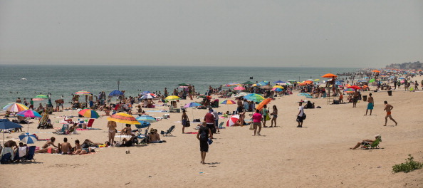
Getty images


