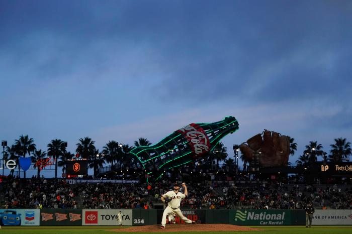
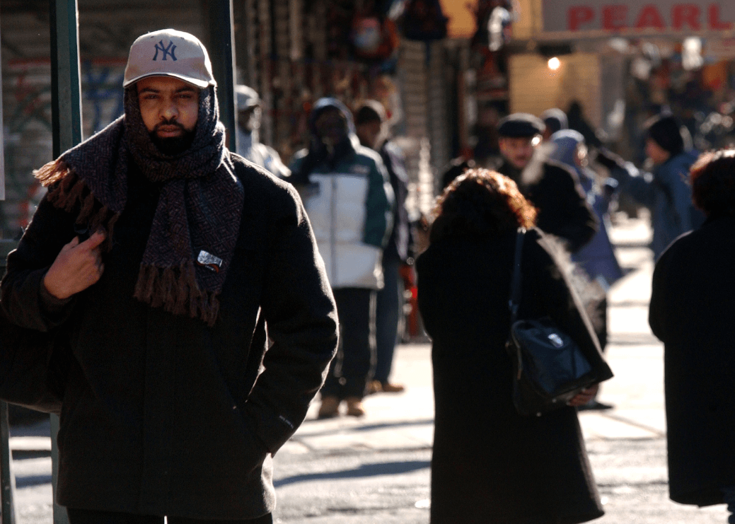
This is going to be one wild April week, with extremes in temperatures and precipitation. If you want to talk about the full weather gamut ranging from rain to snow, from freeze to warmth, this week will have it. And by looking at the long-range models, April might turn out to be colder than March. It’s also the opening week for the baseball season. The New York Yankees have there home opener today and the rain falling this afternoon could change over to wet snow towards game’s end. It could be worse; back on April 6 1982, the game was cancelled due to a full-blown blizzard, really baseball season in the Northern states should not start until May 1. I’ve been advocating this for years as the fans suffer the most. You’ll be freezing your plants off come Tuesday morning as the mercury drops into January like levels back down into the 20’s as crops, if not protected, and tender plants could suffer major damage. On Wednesday morning, more widespread freeze and frost across the entire Northeast, but temperatures will start to rise back into the seasonably cool 50’s. At the same time a more southerly flow on Thursday will send readings back to the unseasonably mild side along with a pretty good chance of widespread heavy showers and storms developing. Record cold to strike this Friday into Saturday.
A record setting Arctic air mass will invade the entire Northeast during this time frame as temperatures come Friday night and again on Saturday night will spiral down into the teens with some of the Northern suburbs in all three major cities of New York, Philly, and Boston could dip into the single digits. Snow storm or snow showers for Friday into Saturday?
Models right now have no clue, waffling from just about nothing, to snow showers and on a couple of runs a major snowstorm basically from the Philly to NYC with the best chance across Eastern Long Island and the Boston region. Confidence in forecast is very low at this time. What I do know, you will need more than just a baseball glove for this upcoming Friday into the weekend.
Play ball!
Philly
Today: Milder, with showers arriving after 3pm. 65
Tonight: Showers end, then cold blast. Freeze by morning Low 28
Tuesday: Winter chill, brisk. High 43
Wednesday: Windy, more seasonable 55
Thursday: Showers and storms 61
Friday: Late day tumbling temps, 30’s by evening/snow showers
Saturday: Very cold..possible snow or just a few now showers. High 38
PHILLIES HOME OPENER APRIL 113:05 p.m.
Dry, mild and windy 67-72… The very early outlook
New York City
Yankees Home Opener: Rain possibly changing to wet snow by late in the game ..dropping into the 30’s
Tonight: Wet snow ending, Light accumulations on grassy surfaces. FREEZE by am. Low 28
Tuesday: Am freeze then brisk along with a winter chill. High 37
Wednesday: Dry and chilly 49
Thursday: Showers and a late day storm. High 60
Friday and Saturday record cold temps likely
Possible steady snow or snow showers Friday night into Saturday.
Temps in the teens and a few single digits possible across the Northern burbs on Saturday night.
Weekend forecast is still very uncertain .
Play ball… ugh, maybe not.
Boston
No baseballs just snowballs!!
Periods of snow will continue throughout the day. Accumulations generally 2-3 inches/few pockets across the hills of 3-5 inches. High 32
Tonight: Snow ends early, then clearing and very cold. Low 22
Tuesday: Brisk and unseasonably cold. High 34
Wednesday: Chilly sunshine 44
Thursday:Showers and morning fog. Late storm. high 58
Record cold to strike Friday night through Saturday night.
Temps by Saturday night will drop into the teens, with a few single digits likely across the Hills.
Watching the potential for coastal storm. Right now just too far off to forecast with any confidence.
For now chance of snow or snow showers for Saturday.
Boston Home Opener outlook: April 112:05p.m.
Early call: Milder and windy. High: low 60s
Bolaris’ Weather Watch: Throwing out snowballs instead of baseballs
Getty Images

