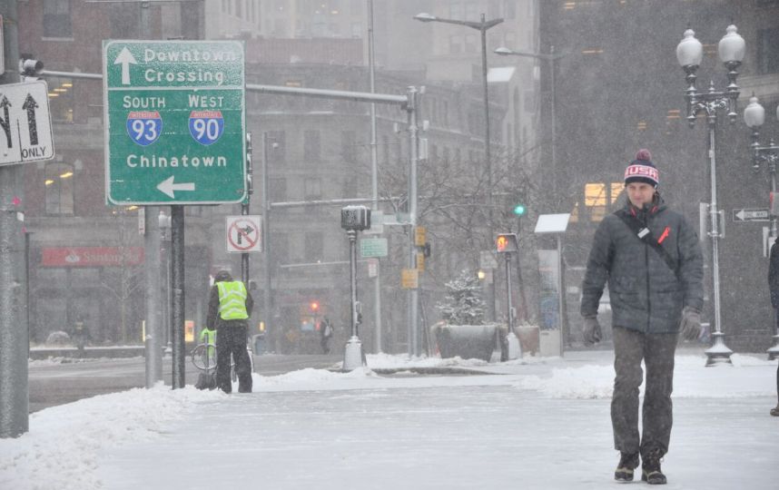
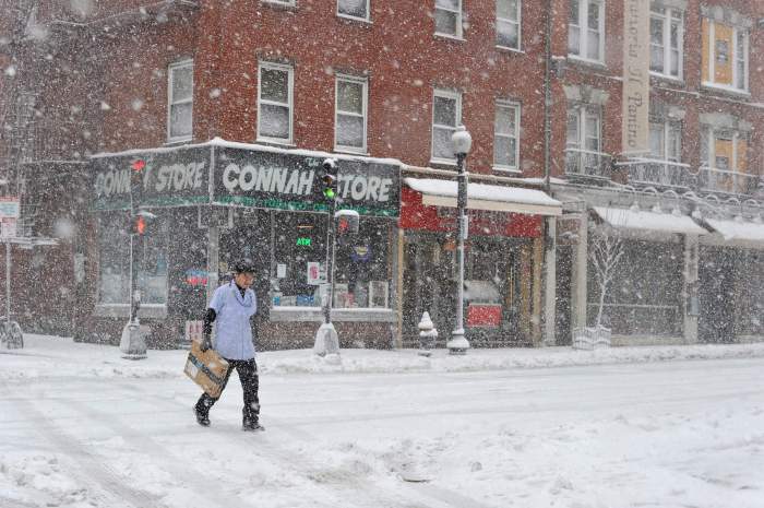
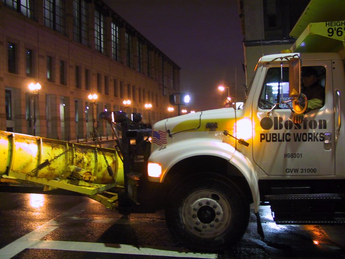
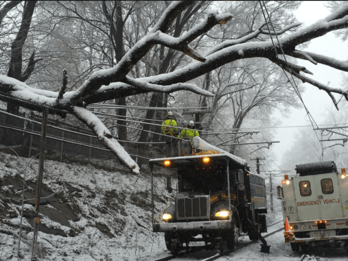
Even more snow is slated to hit the Northeast this week, despite the fact that spring has technically sprung.
The National Weather Service’s Boston office issued a Winter Storm Warning for Massachusetts and parts of Rhode Island and Connecticut ahead of the coming nor’easter. The warning will be in effect from 8 a.m. Wednesday to 8 a.m. Thursday.
Previously, the weather service said that it was “confident” the Boston area will see some impact from this storm, but since the nor’easter was still a few days out, the “breadth and magnitude” were still uncertain.
Though the Winter Storm Warning has now been issued, forecasters are still uncertain about this storm, so they’ve issued Winter Storm Watches as well. Along with this storm are the risks of strong winds and coastal flooding once again.
Although Winter Storm Warnings have been issued, there remains uncertainty which is why Watches continue as well. Winds/Coastal Flooding all still risks. Here’s the latest, but as always stay tuned to updates throughout the day. pic.twitter.com/7IB6LnhjeA
— NWS Boston (@NWSBoston) March 20, 2018
The storm is expected to hit on Wednesday and Thursday. Forecasters are predicting higher snow totals as the nor’easter moves closer, with more than 6 inches of snow possible for Boston on Wednesday night. After this nor’easter is over, Boston could be left with 8 to 12 inches, according to the National Weather Service.
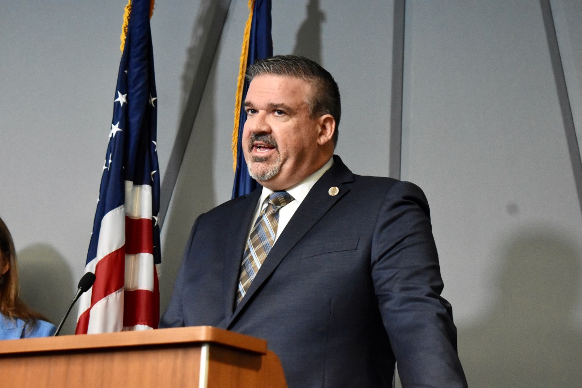
Wednesday’s evening commute will most likely be affected by this nor’easter, which makes it a bit of a difficult storm to prepare for, Mayor Marty Walsh said at an event on Tuesday.
“It’s a complicated storm because it’s going to start around noon, they say, and it’s going to be heavier around 4 p.m., so it makes it very difficult to make judgment calls as far as parking and schools and transportation and getting home,” he said. “Hopefully it’ll be a little clearer as the day goes on. But it’s going to be potentially a tough storm, just because of the timing of it. Four o’clock on a Wednesday afternoon is not the ideal time to be dealing with snow.”
Areas to the south like Plymouth could get even more; the storm warning details that there could be total snow accumulations of 10 to 14 inches across the region.
#Spring arrives tomorrow/Tue at 12:15 pm but the atmosphere is going to deal us a different hand in the form of 6+ inches of possible #snow Wed/Wed night. Here is 1 possible simulation of how the storm will unfold including rain-snow line. Heaviest snow likely Wed pm. #MA #RI #CT pic.twitter.com/Qf9zV5Yv51
— NWS Boston (@NWSBoston) March 19, 2018
Highway administrator Jonathan Gulliver warned residents to plan ahead when they travel on both Wednesday and Thursday because the timing of the storm will differ depending on the region of the state, and with heavy snowfall expected, “driving could be hazardous at various times,” he said in a statement.
This nor’easter will be the fourth for Massachusetts just this month. The state is still recovering from previous storms that battered the eastern part of the state, causing floods and power outages due to heavy, wet snow and strong winds.
“These March storms in the last couple of years have been brutal,” Walsh said while at an event in Downtown Crossing on Tuesday. “This is supposed to happen in January, February, not in March. Today’s the first day of spring and it certainly doesn’t feel like it.”

