I warned you last week that the Polar vortex would return by this week, and as you walk out the door this morning, some are getting smacked with heavy snow, while others will feel the cold air seep back into their bones. Frigid blast for the entire Northeast, as cupid shoots a frigid arrow this way for Valentine’s Day weekend. Many areas will fall into the single numbers on Saturday night, with wind chill factors below zero. Protect your tender loving sweethearts. But let’s back up. This will be a full week of relentless cold, and for the first half, we will deal with accumulating snow.
As for how much snow? That depends on where you live. This morning a very intense ocean storm is sending bands of heavy snow across sections of Eastern Long Island with the bulls-eye taking aim at Southern New England, with the Capes of Massachusetts taking on a big blow. For the Philadelphia region, the main impact will be some minor tidal flooding along the Jersey shore and just a brush with some light snow mainly for the coastal sections and off shore.
This minor impact will continue to move away this morning. New York City could see just a little bit more, but with the main impacts being felt east of Islip, with the twin forks of Long Island potentially receiving over four inches of snow. The extreme North fork will see six inches or more, depending on the exact extent of the storm’s western reach. The Capes and the Boston area will get hit hard with ocean effect snow bands and winds along the Cape gusting to more than 50 mph. This combined with heavy snow bands will produce blizzard conditions at times. Right now (subject to significant adjustments) Boston could get nailed with six to 10 inches of snow and the Capes eight to 14 inches. It’s almost impossible to have high confidence in the forecast as we wait and see how and where the intense snow bands set-up. Long-range computer models along with other global factors are strongly indicating a major storm potential for the Northeast between Feb. 16 and Feb. 18, with heavy snow and rain. Potential threat is moderate. New York forecast:
A very intense ocean storm is coming painfully close to our region.
Right now the best chance of significant snow remains across eastern Long Island, especially east of Islip where 3-5 inches could accumulate, and across the twin forks, the north fork could see up to 8 inches. New York City and surrounding suburbs should see no more than a slushy inch. This storm will pull away later today and any snow will come to an end.
Snow may start early Tuesday and bring roughly four inches south of the city, across Philly. We could see up to three inches by Tuesday night, causing a slick commute.
Boston forecast:
Boston schools will be closed today as a snow storm hits the city. With the latest computer models once again trying to play catch up we are forecasting heavy snow all day today, with blizzard conditions likely for areas south of Boston targeting the Capes. As we go to print I’m forecasting the possibility of 6-10 inches of snow for Boston and the immediate surrounding suburbs, with the main crunch taking place across the Capes with amounts that could reach 8-14 inches. The brunt of the storm will take place during the afternoon, and the snow will taper off this evening.
Philadelphia forecast:
An intense ocean storm this morning has us holding our breath and making sure it passes well enough to the east not to impact us in a significant way.
Right now the major impact for this storm should remain off the coast as it has Southern New England in its cross hairs with heavy snows, and blizzard-like conditions.
Philly will just get buzzed with a snow mix and minor tidal flooding on tap for today and again tomorrow, although I can’t rule out some moderate tidal flooding.
There will be a light, slushy accumulation for some this morning mainly confined to eastern New Jersey.
Polar vortex brings frigid temps, snow to Northeast ahead of Valentine’s Day
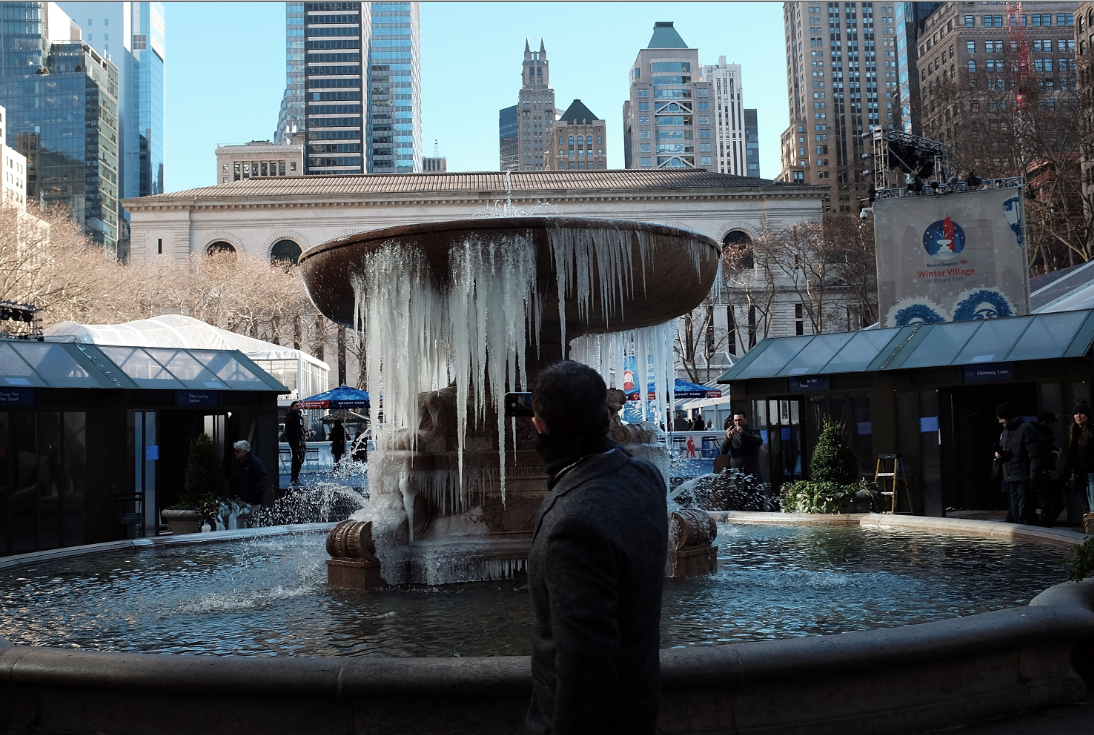
Getty Images


