After President Trump announced last week he would pull the United States out of the Paris Climate Agreement, Mayor Marty Walsh assured Boston that the efforts here to curb the effects of climate change would continue undeterred.
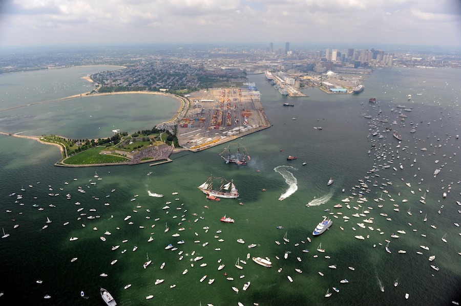
Climate protection efforts are crucial, Walsh said, to a coastal city like Boston, and Imagine Boston 2030, the first city-wide plan in 50 years, includes several initiatives aimed at curbing and preparing our coastal city for climate change as part of creating a waterfront for future generations.
“It’s a challenge,” said Ellen Douglas, a hydrology professor and graduate program director at UMass Boston’s School for the Environment. “If you plan right, you can make sure co-benefits come with the protective plans.”
The Imagine Boston 2030 plan divides up flood-protection investments into two categories: nature-based (“green”) or hard-engineered (“gray”) solutions.
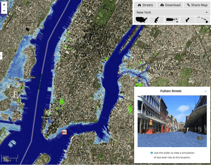
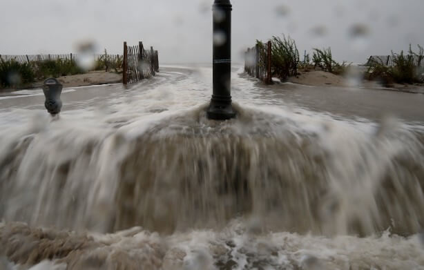
Some Boston scientists are already investigating a “sea wall” to block what a recent city report on climate change predicted would be ocean levels 18 inches higher by 2050, and double that by 2070.
A concrete wall would be “gray” flood protection, Douglas said. While necessary in some areas, those infrastructures can also have “unintended consequences” because they don’t dissipate the energy of a wave or flood, but just “reflect” it to another area.
That’s why it’s important to mix in “green” protections, she said, like an oyster reef or beach dune, which help dissipate the wave’s energy as it approaches land.
So, possible co-benefits to protective plans could include adding aesthetic and recreational features to the waterfront.
Open spaces can also be set aside for recreation, like parks, and then also serve as a flood channel in case of a disaster, so the water is directed into an area that doesn’t damage buildings, and Imagine Boston 2030 includes proposals for added open spaces and parks.
But protecting a “waterfront for future generations” also includes plans for accessibility, continued economic opportunities and an active cultural resources and recreational opportunities.
“What do we need to do along the entire waterfront around the region to both protect all of the land behind it and the various investments made and people’s lives and livelihood, while at same time turning it into really viable and exciting space that connects us to the harbor?” asked Kathy Abbott, president and CEO of Boston Harbor Now.
Abbott said the Imagine Boston 2030 plan for the waterfront is “a good effort,” but said she would work with the city to expand it even further.
“Boston is 48 square miles of land and 41 square miles of water, and most of that is harbor and by definition public,” she said. To her, a waterfront for future generations means one “really owned by everyone, and used by everybody.”
Interested in Boston’s future? Metro Boston will examine a different aspect of the Imagine Boston 2030 plan every week. Tweet your thoughts about whether the plans will works and what Boston needs to us @MetroBos.

