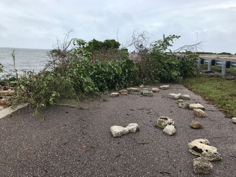
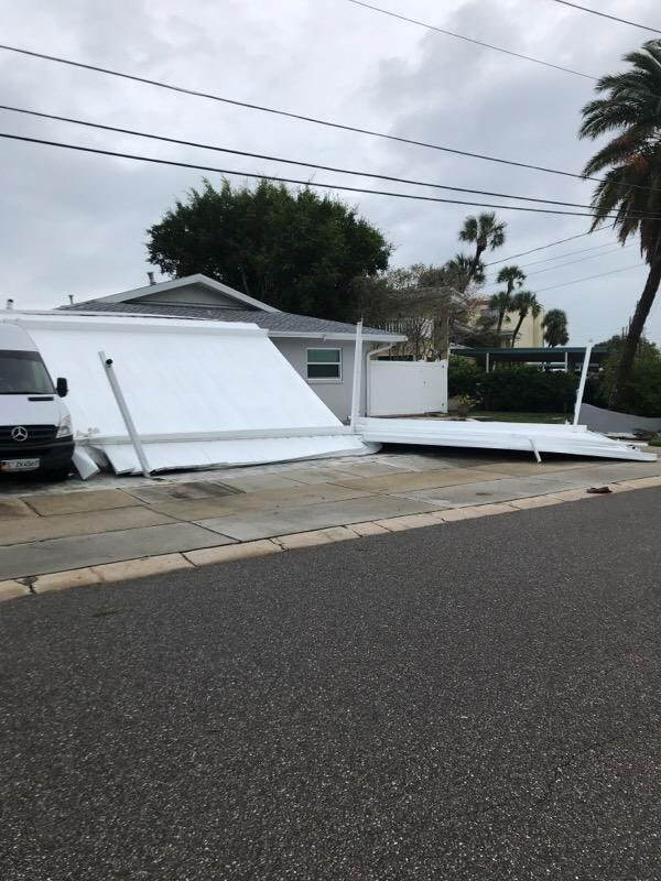
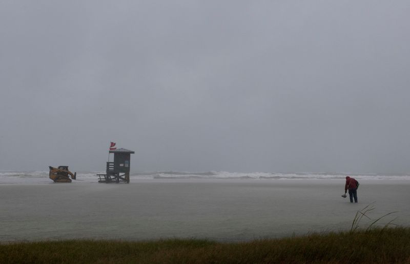
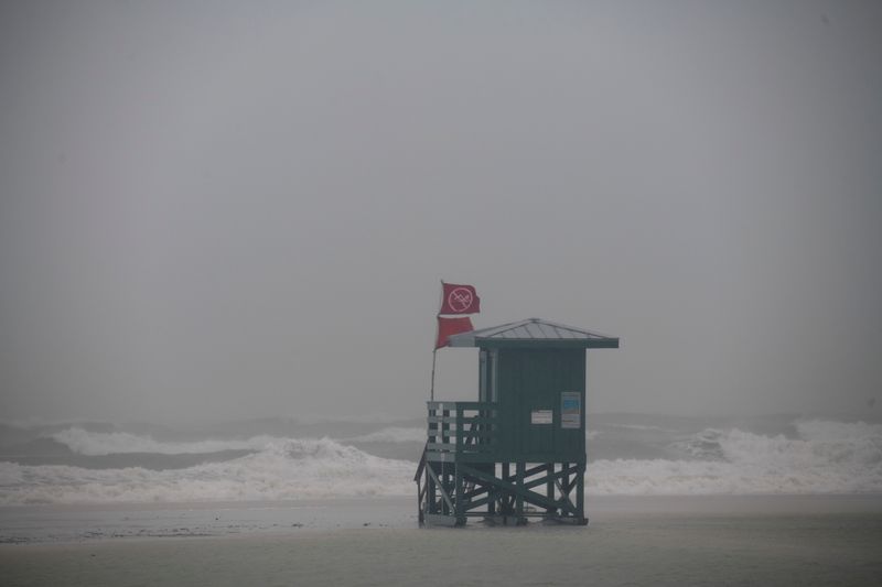
(Reuters) – Tropical Storm Eta drenched Florida’s west coast on Thursday after making landfall north of Tampa Bay with 50 mile-per-hour (80 kph) winds, but the system weakened slightly as it moved across the northeastern part of the state and into the Atlantic.
Eta, the 28th named storm of the busiest Atlantic hurricane season on record, according to the Miami-based National Hurricane Center (NHC), made its fourth landfall at around 4 a.m. on Thursday near Cedar Key, Florida, after it already slammed Central America, Cuba and the upper Florida Keys.
The storm had moved offshore into the Atlantic and was about 40 miles (65 km) north-northeast of Jacksonville on Thursday with maximum sustained winds of 40 miles per hour (65 kph), the NHC said.
Storm surge from Eta in Tampa Bay reached 3 to 4 feet (0.9-1.2 m) above ground inundation, the NHC’s Storm Surge Unit said. The NHC forecasted that swells along the Florida Gulf coast today and the southeastern U.S. coast tonight would be “life-threatening.”
Flooded streets in downtown Tampa resembled lakes and sailboats in Gulfport, a city on Tampa Bay, were beached and tipped over on Thursday, photos on Twitter showed.
The storm was expected to drop an additional 1 inch to 3 inches ((2.5-7.6 cm) of rain over the Florida peninsula on Thursday, adding up to a total of 20 to 25 inches of rainfall in parts of South Florida.
“Localized bands of heavy rainfall will continue to impact portions of the Florida Peninsula today, resulting in isolated flash and urban flooding, especially across previously inundated areas,” the NHC said.
(Reporting by Gabriella Borter; Editing by Marguerita Choy)


