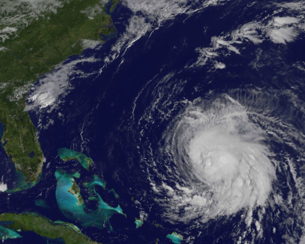
Rugged New Yorkers that we are, we face our winters head-on. With studied resolve, we forge on, cocooned in all manner of stuffed nylon and wool, commiserating, slogging through our days and commutes. But through our strength, we’re philosophical about nature’s visitations upon our city. So how about this January? Where is it on the “grumble meter”? Does it get a pass? I think it should! With dry streets, many mild days, we’ve barely made our January average for snow in Central Park, with little hope for much more. Last January, we got walloped with the single-day record snowfall in the park, 27.3 inches! The crusty, slushy remains of the snowstorm stuck around for the rest of the month.
In January 2015, we endured 17 inches of snow, nearly 10 inches in one storm; in 2014, more than a foot-and-a-half, with nearly a foot from one storm.
This month, all traces of our 5-inch snowfall on the Jan. 7 have been erased by two days of 60-degree warmth, including a record of 66 degrees last Thursday! Not bad!
This week, yet again, a storm born in Texas with Pacific jet stream help and Gulf of Mexico moisture, will head for the Great Lakes by Wednesday. This storm — dubbed an “inside runner” because it tracks “inside,” to our west, instead of out over the sea — will mean rain showers today into tonight and possibly on Wednesday. We’ll enjoy a nice January thaw all week: we can thank a stubborn ridge of upper air high pressure, centered between the Gulf and Caribbean, helping to deflect the coldest of the Arctic air…for now. Forecast for NYC:
MichaelFriedmann is a meteorologist with WRNN-TV/FiOS1 News. You can follow him at WeatherTalk@Twitter.com
Weather Ahead: Mild January, so far
Getty Images


